D110: SLAPTON SANDS to KINGSBRIDGE
Tuesday 26th September 2023
Today miles: 19.1 Total miles: 1861.4
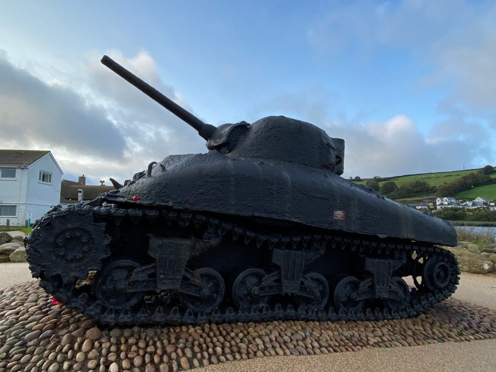
A huge thank you to Slapton Sands campsite, I had a wonderful time. The staff and many of the other guests on the site were so, so helpful. Back on the coastal path I carried on for a mile and a half along a shingle path, between the sea and the freshwater lake, Slapton Ley. I arrived on the beach at Torcross and noticed a full size, original WWII Sherman Tank at the end of the public car park. It’s now a sentimental memorial to the tragedy that was Operation Tiger. In brief, thousands of Americans and Canadians were stationed around this part of the coast in 1943-44 in preparation for D-Day. One day during a training exercise (Exercise Tiger) in April 1944 more than 700 servicemen were killed. It’s a really sad story which is now commemorated by the residents of Slapton Sands every year. There’s two cafes in Torcross but I was disappointed to find that both are closed. I hadn’t eaten any breakfast and I was feeling rather peckish. Half an hour later after another easy ascent/descent I arrived in Beesands. Fortunately there’s a nice modern hotel, The Cricket Inn and it’s currently open to the public. Twenty minutes later I was devouring a full English breakfast, washes down with two cups of coffee.

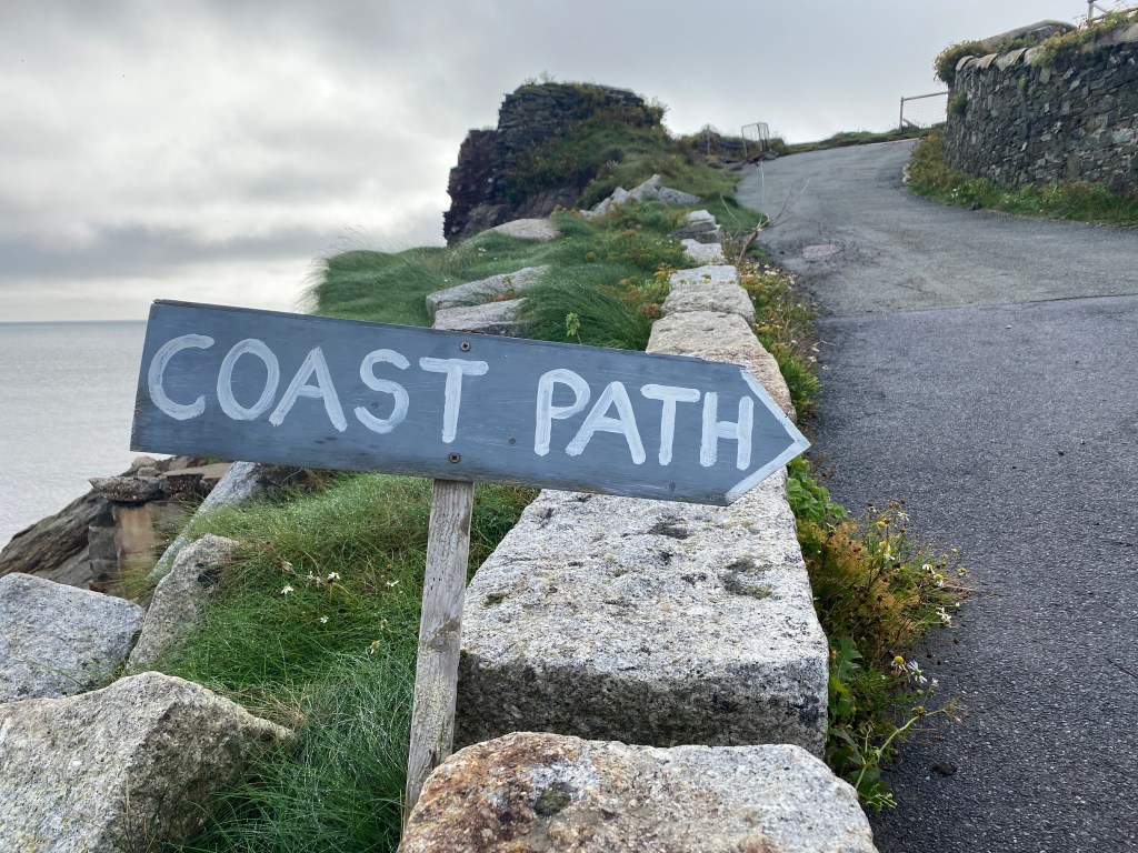
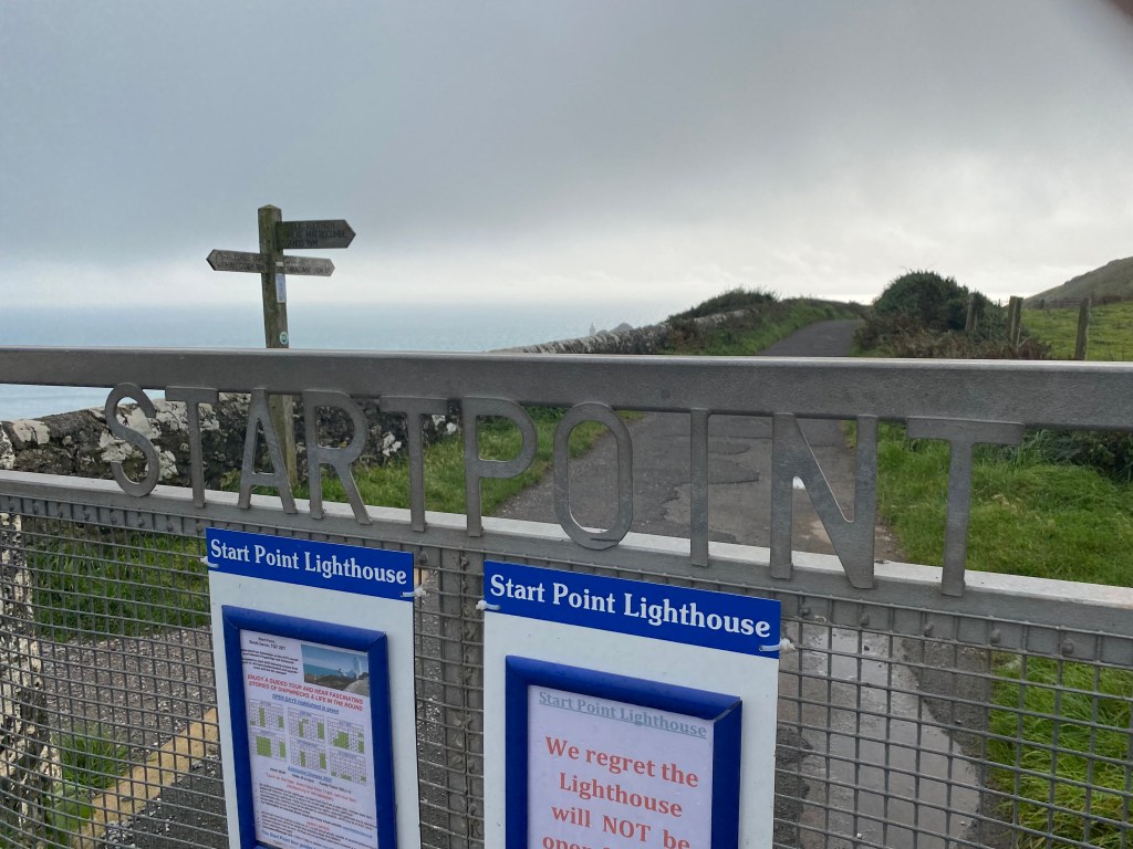
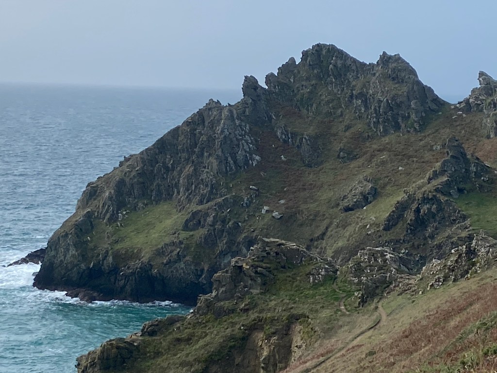
I carried on along the edge of the coastline for a further mile before the route climbs up steadily towards Nestley Point. There’s a conveniently placed portable toilet in the car park at Nestley and I made use of the facilities. The path along the next four miles is stunning towards Start Point and then onwards to Prawle Point. I was completely surprised when I approached Start Point, there’s an awesome rocky ridge formation stretching out towards the lighthouse, oddly this reminded me of the movie monster Godzilla. the The SWCP diverts me away from the lighthouse and the next couple miles was some of the most enjoyable scenery and walking that I’ve experienced in a while. The usually irritating ups and downs were easily forgotten amongst the brilliant views.

Despite it being midweek the path around Prawle Point was extremely busy. The sun had decided to turn up and I took several short breaks. My water bottle ran out as I walked across Deckler’s Cliff and I needed to refill as soon as I could. There’s another nice hotel at Gara Rock. Having climbed the steep hill I popped inside with the intention of only grabbing water, however the temptation of an ice cold beer was too much to refuse. Back on the path I followed a brilliant, level track for a mile until I reached the mouth of Salcombe Harbour. There was a short walk through a wooded copse near Mill Bay before I arrived at the ferry port which takes tired travellers onto Salcombe. It’s approximately twelve miles to Salcombe around the estuary, mostly along minor country roads. I should have stopped earlier for another short break but instead carried on towards Southpool where I found a nice wooden bench overlooking Southpool Creek. I had checked the map earlier and there’s absolutely no legal campsites nearby, another negative consequence of leaving the formal coastal path. The four miles of walking along the tarmac was hard going on my already aching feet, I arrived in Frogmore and headed to the only pub.
I worried about where I was going to stay tonight, but a local resident offered me the use of her nearby meadow. She jokingly warned me about the three ponies in the same meadow but as I’m out of other options I nervously accepted her offer. After walking the additional mile I eventually pitched up in the fading light. I couldn’t see any of the three ponies and hopefully they’ll stay away. A day of brilliant views and sore feet.
