D101: PORTLAND BILL to BURTON BRADSTOCK
Sunday 21st May 2023
Today miles: 26.5 Total miles: 1709.3
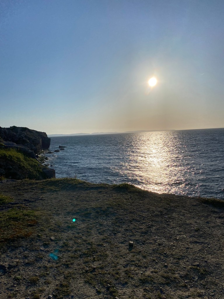
I don’t recall what time it was when I finally dropped off last night, but it was definitely later than I had wanted. Regardless, I was still up early and away walking towards Portland Bill before 6.30am. After waking I had resisted the revengeful temptation to make lots of noise and I just slipped away quietly. The half mile seaward walk out towards Portland Bill was straightforward.
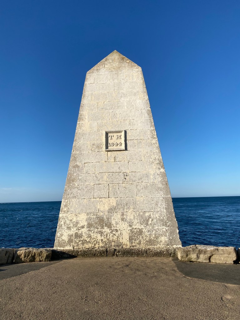
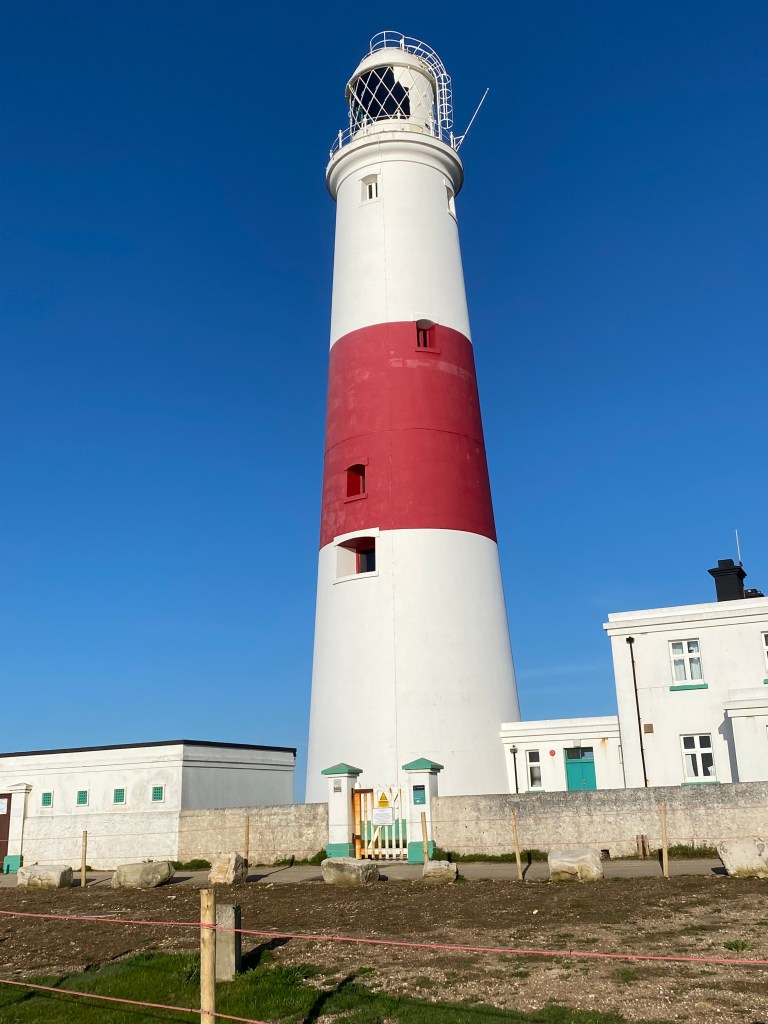
I kept repeatedly humming/singing ‘Oh come with me to the rolling sea, while the weathers calm and still, and we’ll have some fun and laughter, with the adventures of Portland Bill’ as I advanced towards the huge trig point on the edge of the rocky coastline. Anybody born after 1980 won’t have a clue what I’m talking about, anyway it kept me entertained for an hour. I did spot several fishermen and a couple of bird watchers amongst the rocks as I rounded the three lighthouses located at Dorsets most Southerly point.
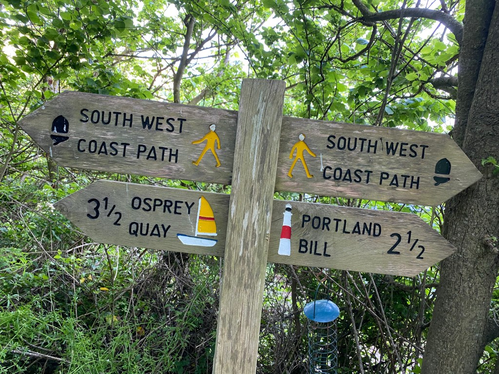
The next three miles were across the cliff tops towards Chesil Cove. From here I could clearly see the miles of pebbles that formed Chesil Beach stretching out in the distance for as far as I could see. There were a couple of minor diversions due to rock falls on the coastal path but I arrived at Chesil Cove visitor centre well before 10am, without any difficulties. I had hoped to use the toilet facilities at the visitor centre but they didn’t open for another hour. I must have looked desperate as staff in the visitor centre shop took pity on me and they kindly let me use their facilities. The footbridge near Chesil Beach holiday village had apparently collapsed some weeks ago and the South West coastal path is diverted once again, this time through the village of Wyke Regis. Every so often I could see a small solitary hut on the edge of Chesil Beach and I just wondered who owned these strange wooden buildings and how often do they get used. Near Langton Herring I caught up with a group of young people on a Duke of Edinburgh training exercise. I tried to engage them in friendly conversation but they weren’t interested so I took the hint and sped off, leaving them trailing in my wake. There are dozens of new finger signs along the SWCP, which I’m very grateful for. However the signs are misleading with their distance indications. From Chickerell to Abbotsford the signs read as follows 4miles, 3, then oddly 3 3/4, then 2 1/2m and 1m. Then finally 1 1/2, it was most confusing and mildly irritating.
Despite the finger signs I arrived in Abbotsford, in the hope of a cold beer, an extended break and picking up some snacks. I wasn’t sure how much further I was going today. I needed to pick up some food but was disappointed by the lack of choice at the Abbotsford General Store. I decided to just keep walking and see what happens. The first half mile after The Old Coastguard Cottages was difficult and slow. It’s the only path and it’s along a much loathed shingle beach. Eventually I located a small wooden bridge which crossed the marsh at West Bexington Nature Reserve and I found myself on a much better dirt track. As I approached Burton Bradstock I was struggling to find any suitable places to wild camp so I contacted a nearby campsite.

There’s a well stocked general store and a pub in Burton Bradstock, but unfortunately they’re both closed on a Sunday night. I met the campsite host on arrival. I was desperate to sit down and relax but the site owner decided to spend the next forty minutes showing me around his farm and caravan park and advising me where I should go walking tomorrow.
It’s been an enjoyable day along a path with some impressive and variable views. I ate some of the snacks that I’d picked up in Abbotsford for my tea and climbed into my sleeping bag to watch something on my iPad.
