D73: DARTFORD to ALLHALLOWS-ON-SEA
Tuesday 17th May 2022
Today miles: 25.6 Total miles: 1173.2
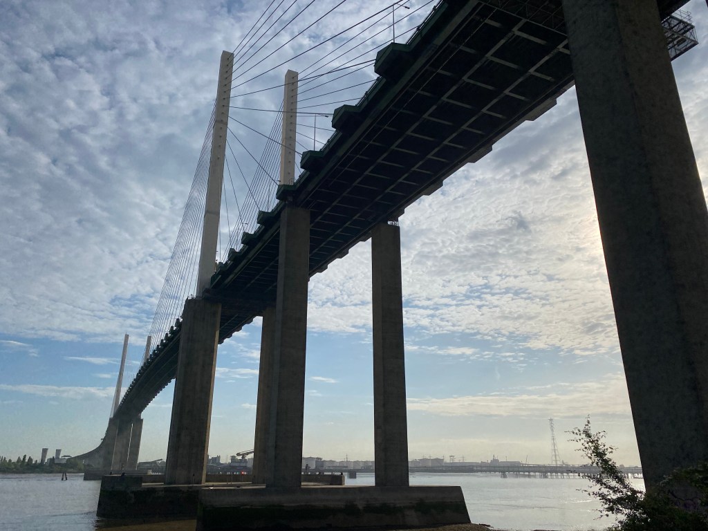
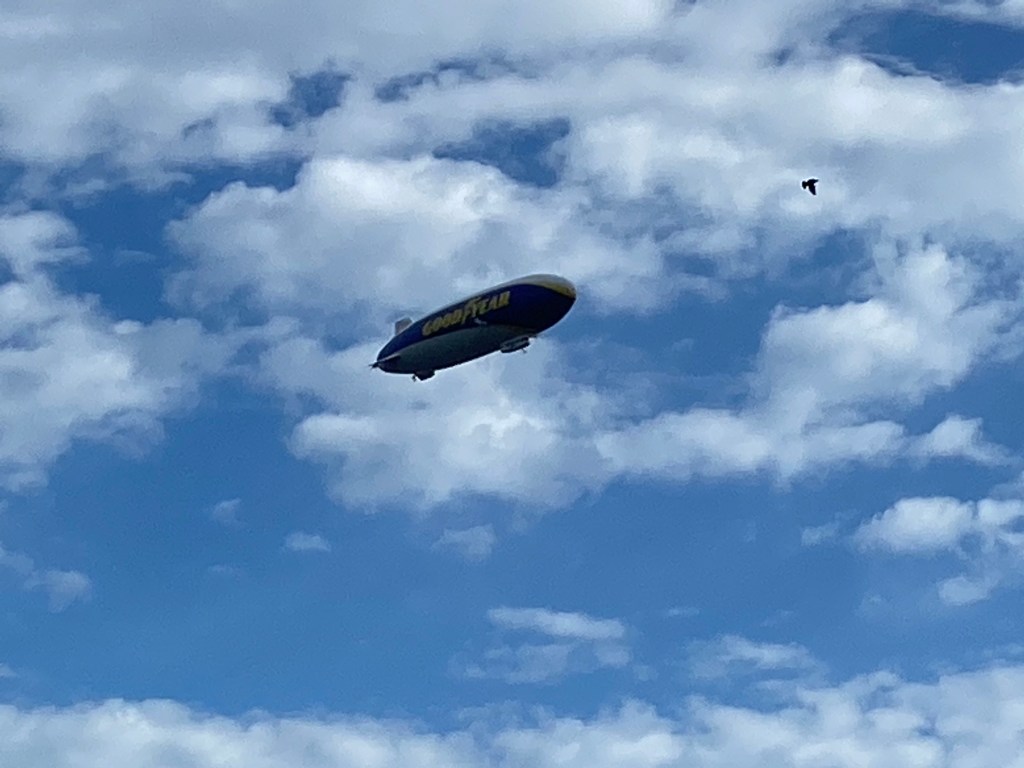
The weather forecast predicts today is going to be the hottest day of the year, I’ve only got a litre of water in my backpack. I’m wild camping again tonight, so my plan is to just keep walking until it either gets dark or I get fed up. My first objective today is to just retrace the route that I took at the end of yesterday, along the road and then the narrow bridleway. The next three mile section is along the public footpath towards Swanscombe. I was very impressed with this section of the route, first it runs in front of the power station and then several huge distribution centres. The path is well maintained and the views are fantastic. I pass another Amazon distribution centre, that’s the third I’ve walked past on this trip. I walk under the Queen Elizabeth II Bridge and then carried on along the path, the sun was already beating down. I made sure that I stopped often, to both cool down and too have a drink. I took my first proper break at Swanscombe, a modern area with a nice, clean promenade. I was sat, busy watching a couple of men in the mudflats digging for shellfish when the ‘Good Year’ blimp flew slowly overhead. The locals didn’t even look up, clearly for them a regular and mundane occurrence around Swanscombe.

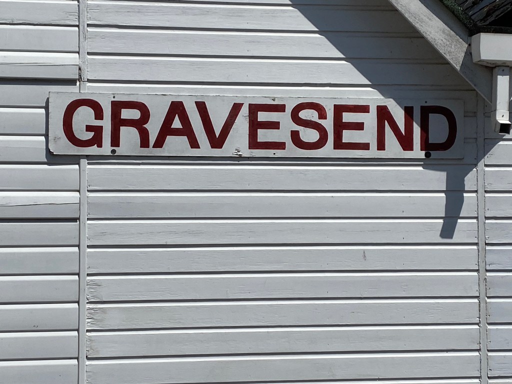
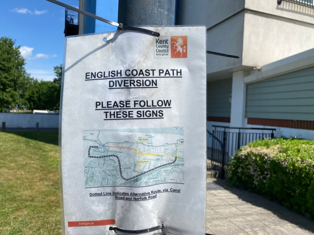
I continued along the Thames Path/English Coastal Path without any difficulties. On my way into Gravesend I found out that my home football team Newcastle United beat Arsenal 2-0 last night. Gravesend is prime Arsenal supporter territory, best not gloat too much. I’ve already drank the litre of water so I grabbed another bottle and a can of fizzy pop from a general store before then dropping into ‘The Robert Pocock’, a Wetherspoons pub. I ordered and then ate a large English breakfast. After leaving the pub I then attempted to make my way back onto the Thames Path. I don’t want too say too much about what happened next but needless to say there are big issues with access to this right of way. I’m forced to take an alternative route on a minor road near Milton. I’ve since completed a complaints form with Kent County Council and I’m awaiting a response.

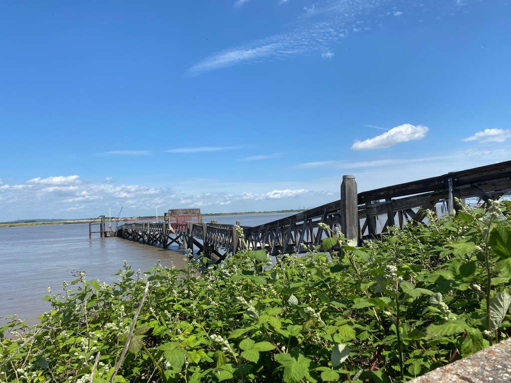
The next stretch is twelve miles along the Saxon Shore Way and there are no facilities whatsoever. My pack feels heavy due to the additional snacks and water but in this weather (it’s 27 degrees) I’m going to definitely need it. I walked the first 5 miles towards Cliffe Fort before taking another long break. As I relax on the riverbank I can see Coalhouse Fort, which is on the opposite side of the River Thames. Cliffe Fort (unlike Coalhouse) is disused and unfortunately its already fallen into extreme disrepair. I had originally planned to camp somewhere near here but it’s not even 5pm, so I just carried on walking. Despite leaving Gravesend with two litres of liquid I still need to be careful because even this amount of water is not really enough. As I continue to clock up the miles I can now see Canvey Island on the opposite bank. I then skirted around Egypt Bay and then the larger St Mary’s Bay before I finally decided to stop.

After setting up camp I then had a nice evening meal whilst sat looking out towards the mouth of the Thames. As the sun began to descend I could see the lights from Southend-on-Sea also beginning to appear. A really nice ending to a good day.
