D62: TOLLESBURY to MALDON
Friday 25th March 2022
Today miles: 18.9 Total miles: 971.6
This is a little earlier in the year then I had planned for my first trip on the English Coastal Path, however due to family and work commitments the next two weeks were the most suitable dates for this trip. The weather this winter particularly on the East Coast has been cold and windy but so far a definite lack of the white stuff. It’s forecast to be dry for the next few weeks but the nights still a chilly 3-5 degrees Celsius. This is going to be a trip of two distinct halfs. Part one, a week of mostly rural miles towards Southend-on-Sea. Part two, the 100 miles working my way around the urbanisation of the River Thames/London and then onwards to Gillingham. I can’t pretend but I’m not excited about walking through such a hugely populated area for several days.
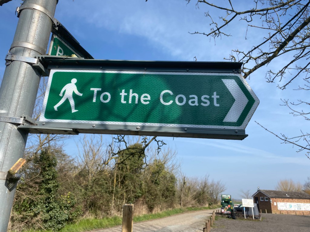
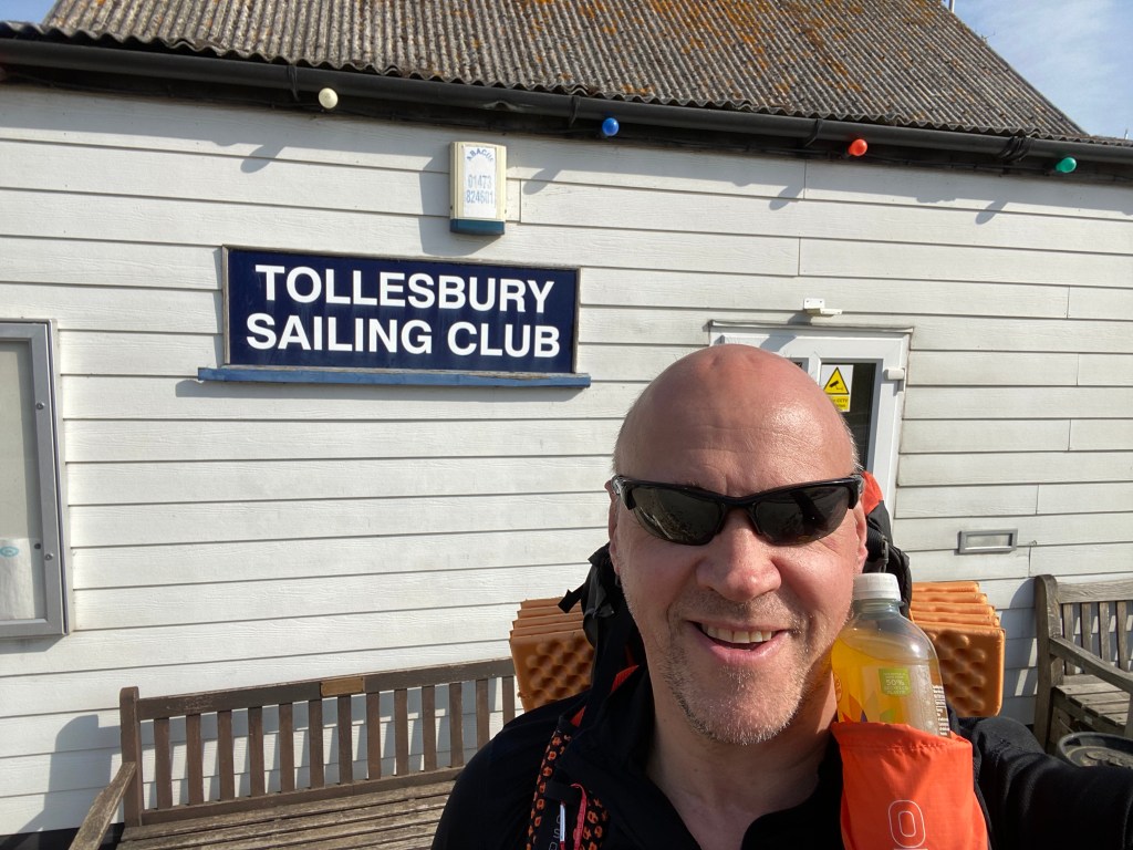
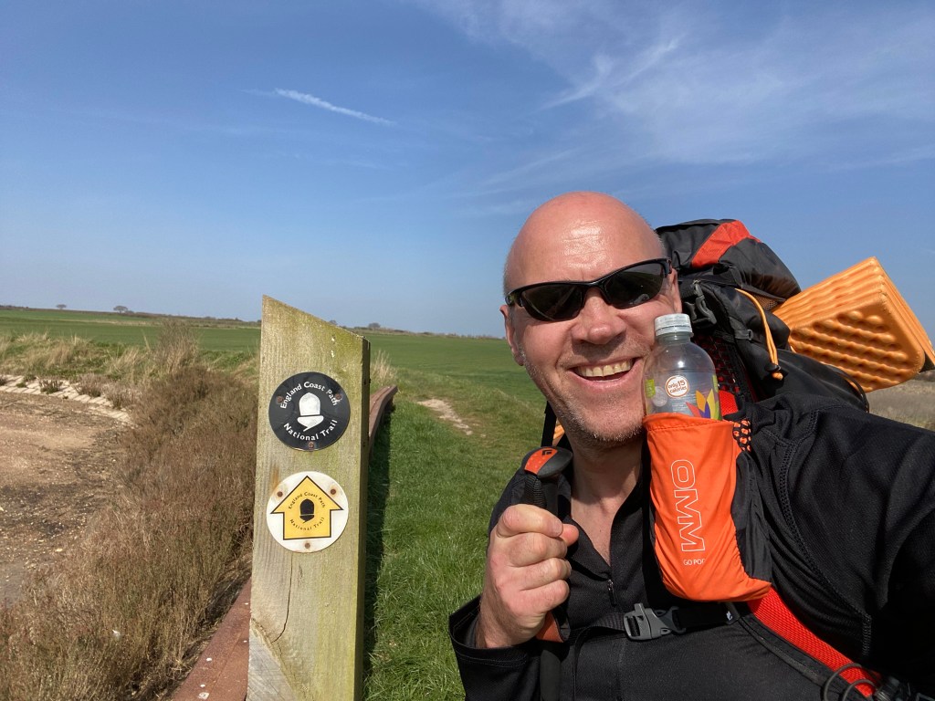
I left Alnwick before 5am and I had 6 hours whilst driving South to think about any aspirations and fears for the next two weeks. After parking outside the church in Tollesbury town centre I was back walking on the ECP before midday. I rejoined the coastal path near the Tollesbury sailing club and after skirting around the edge of the marina I found myself once again standing on top of a grassy sea wall. I walked around Tollesbury Wick Marshes and continued along the Northern edge of River Blackwater.
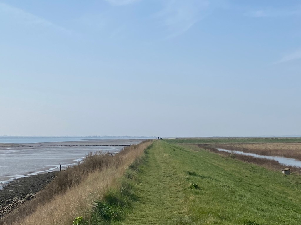
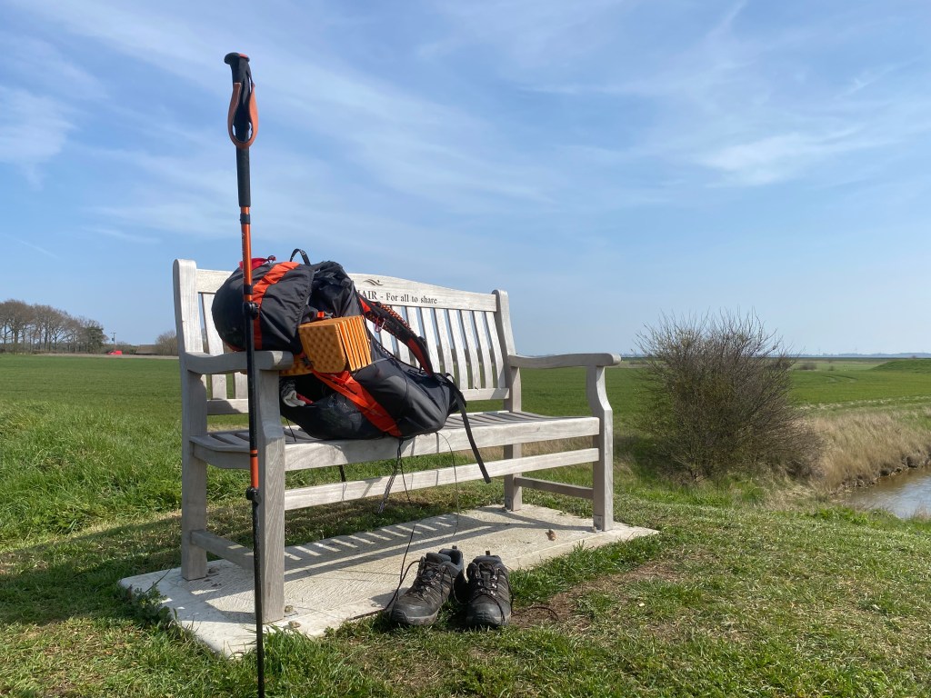
Close to Joyce’s Farm and around 5 miles in there’s a reasonably modern wooden bench with views out across the marshes. The bench is inscribed with the words ’JACCY’S CHAIR’ and it made for a comfortable place to rest my feet and eyes for half an hour. A little further on at the Western end of River Blackwater are located the tidal Islands of Northey Island and Osea Island. They’re two of the official 43 recognised tidal islands dotted around the UK. As I reached Decoy Point in the late afternoon the tide was already coming in and I can’t even make out the causeway towards Osea Island. There’s no public footpaths on the Island and it’s privately owned (by a music producer) and not part of todays plan. This section of the English Coastal Path has recently been fully adopted and there’s lots of black/yellow acorn logos to follow. I find a comfort in these signs as I know the paths will be better maintained and I’m less likely to encounter any obstructions. I had felt a hot spot developing on the bottom of my left foot but chose to ignore it and carried on. This is the first time I’ve worn these new Peter Storm shoes for a multi day walk, I hope they’re up to the task during the next two weeks.
There’s a huge caravan park on the way into Heybridge. The caravans are more like small bungalows and each one is located on an enormous plot of land, really nice and expensive looking, with great views out across River Blackwater and out towards Northey Island. There’s a nice pub on the edge of the Heybridge Basin Lock and it’s really popular. I found myself a nice spot and enjoyed a cold beer.
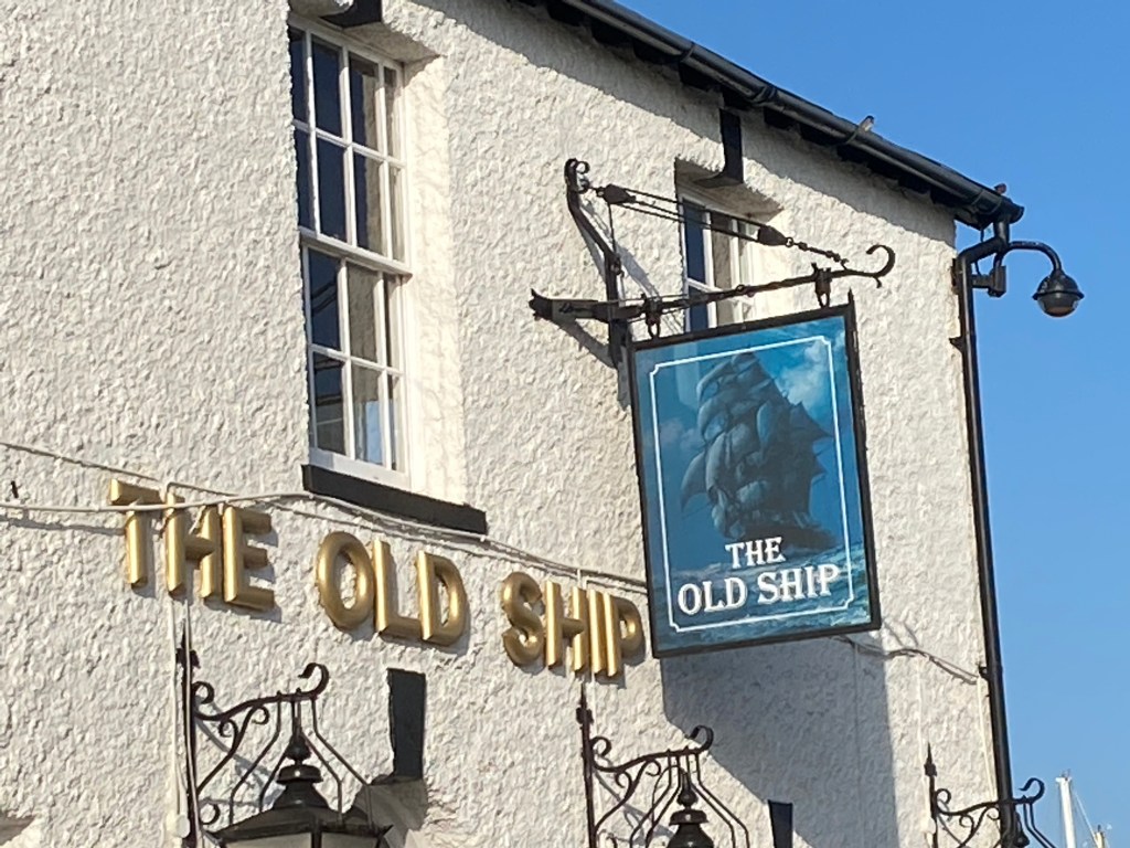
The final section of todays walk involves working my way through first Heybridge and then Maldon before finding somewhere to set up camp. After leaving ‘The Ship’ I skirted along the sea wall until reaching Heybridge Hall and then carefully work my way towards the B1018. There’s a path along the minor road and I reached the opposite bank of this particular waterway without incident. All I need to do now is decide how much further along the coast to walk. I carry on for about two miles and come across a large sluice gate close to the site of The Battle of Maldon. There’s a perfect patch of flat grass surrounded by three concrete walls next to the sluice and it’s exactly what I need. A quick tea of noodles, coffee and a handful of skittles before I’m tucked up in my summer sleeping bag hoping for a good night sleep, with the sound of hundreds of restless seabirds for company.
