D174: HERBRANDSTON to MARLOES
Wednesday 10th September 2025
Today miles: 20.3 Total miles: 2865.2
I woke up early and noticed immediately that the sky was looking rather dull and there’s definitely a high risk of further rain at some point later today. I assumed further rain so once again I’m wearing my waterproof clothing as I set off walking. Last night due to a low tide I had been able to spot the walkway across Sandyhaven Pill(river). When I checked the tide times last night it confirmed that the low tide today is forecast around midday Local information stated that it’s safe to cross up to two hours either side of a low tide. Unfortunately, I’m up and ready to walk around 8am and I really didn’t want to wait around for a couple of hours. It’s a reasonably short three mile detour to get to the nearest bridge at Rickerston. As I set off walking I could see the river but there’s no sign of the walkway and the water was flowing pretty quickly. There’s a series of minor roads to negotiate through Herbrandston and onwards to Rickeston Bridge where I was eventually able to cross Sandyhaven Pill. After a series of short, easy climbs I reached Sandy Haven and left the tarmac behind. Twenty minutes later I passed the point on the river where the opposite end of the walkway ends/starts. It still appears to be under several feet of water and can’t be seen. It’s a nice walk through the strip of trees. I passed Sleeping Bay and then Butts Bay where there’s another transit beacon on the hill top. I’ve seen several of these ugly monuments along Milford Haven estuary over the last couple of days. Apparently these concrete towers help ships navigate the estuary.
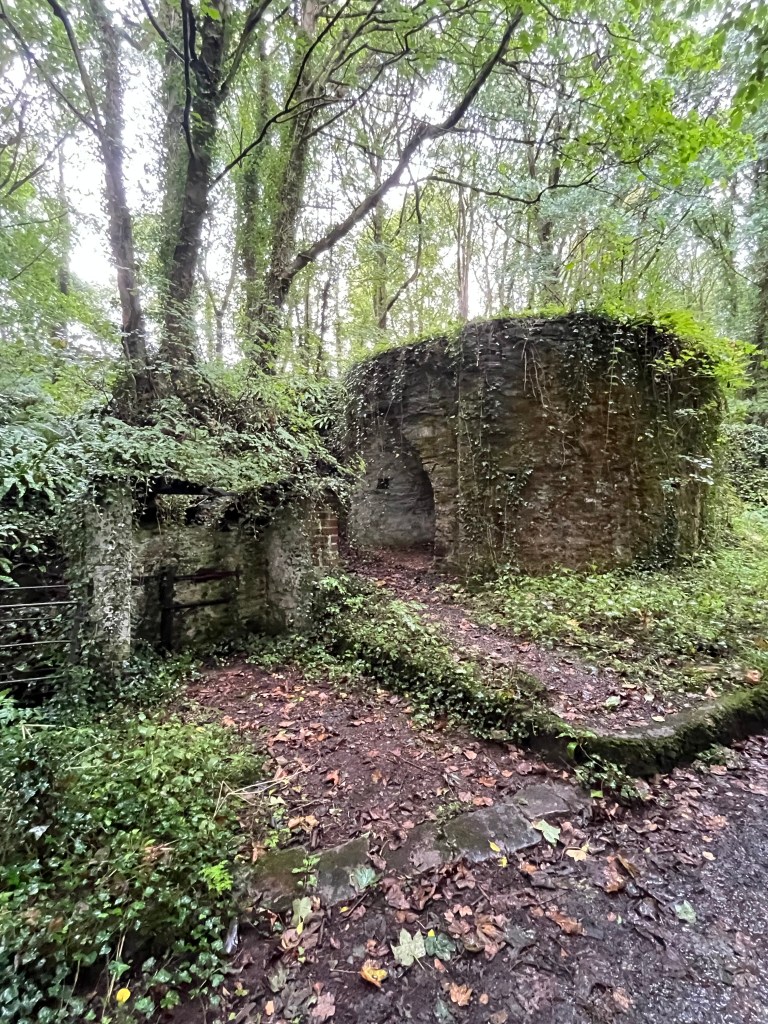
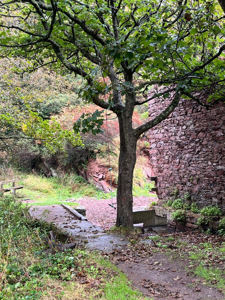

The coastline around here is very rugged and has some spectacular scenery. On reaching Watch House Bay I found the ruins of several buildings near the coastal path. It then began to rain, but only lightly. The cliffs began to descend until they reached Musselwick Point. I walked along the stony beach at Musselwick for half a mile adjacent to the official coastal path until Pickleridge Lagoon. There’s an old wooden walkway across the river but unfortunately the middle section has rotted away. My feet were already soaked with rainwater so I just walked straight through the water which was only a few inches deep.


Minutes later I entered the Griffin Inn which is located in the small town of Dale. I was now soaked literally from head to foot. I ordered myself a hot drink and a bowl of chips. I then tried to dry my clothes out, knowing that I’d be going back out into the heavy rain an hour later. Dale, despite being a small town had several different options for food. The walk out of Dale is along a quiet road towards Dale Fort. It was now misty and I couldn’t see a great deal in front of me. The next prominent location was St Anne’s Head and its lighthouse. This was reached via a series of fields and nice cliff top paths. Luckily, during the next hour the rain stopped completely and the clouds dispersed so by the time I reached St Anne’s I experienced more fantastic views.
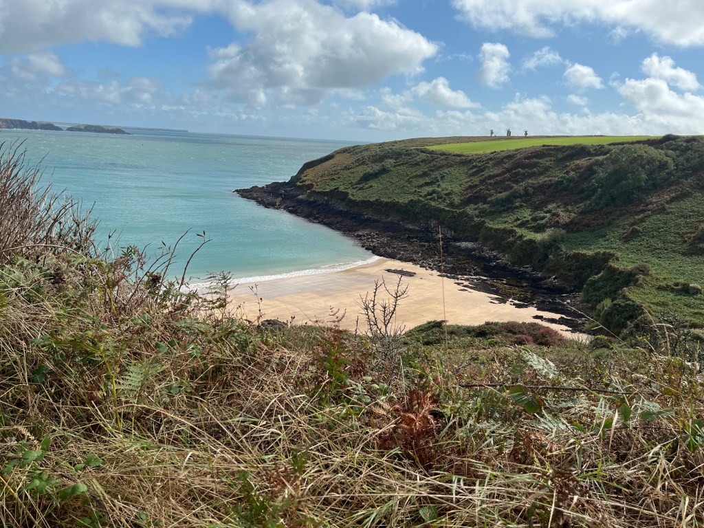

I had a quick conversation with a family of German cyclists who were resting at the lighthouse. As I continued along the path I spotted several larger Islands including Skomer Island in the distance. The following four miles towards Marloes Sands were uneventful and went by quickly. I wasn’t able to find a way onto the beach at Marloes Sands so continued across the cliff tops. I arrived at the public car park close to West Hook and took a short break before climbing onto the peninsula and then walked the circular mile and reaching Martins Haven. The view from Woolmark Point towards Skomer Island was amazing and I wishes I’d been in possession of a pair of binoculars.
I arrived at West Hook campsite and paid my fee. I had a quick discussion with the owner about the impending increase in wind/rain and he kindly allowed me to set up in his back garden. It has high stone walls on three sides and offered me some great protection from the wind. There’s only one other four man tent on the site with a nice, chatty couple.
