D134: PENDEEN to GWITHIAN
Sunday 8th September 2024
Today miles: 24.3 Total miles: 2206.4
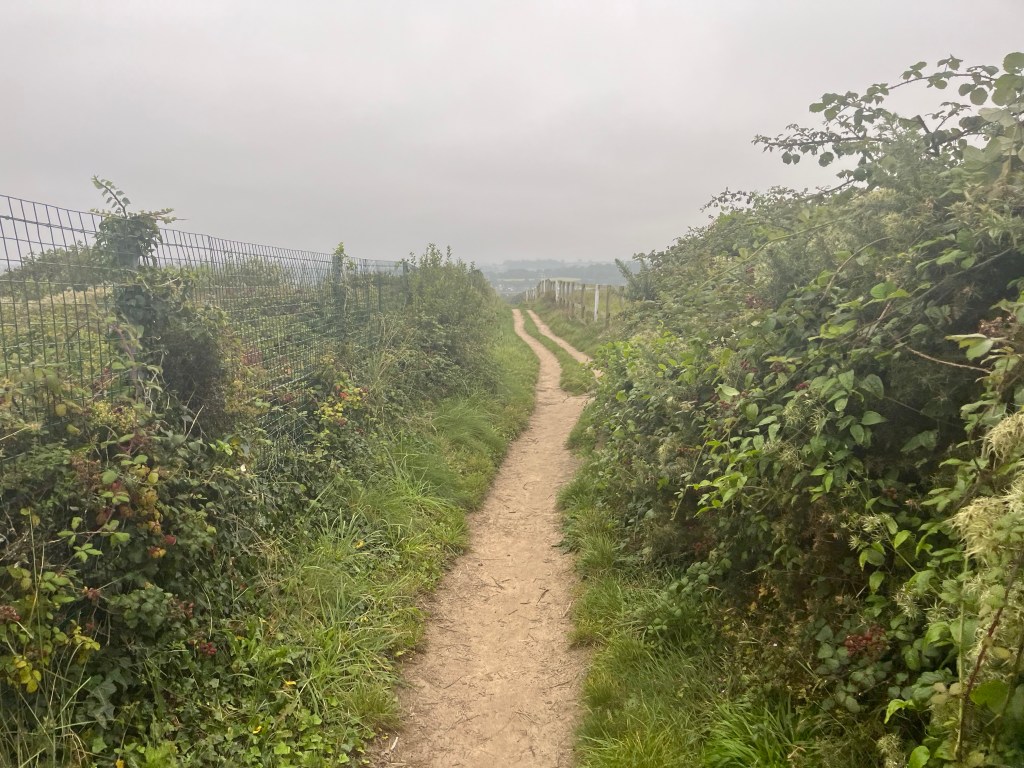
On sticking my head out of the tent this morning I immediately spotted the hazy red sky shimmering behind and above the lighthouse. I quickly ran through the ‘Shepherds delight/warning’ verse in my head trying to work out whether it was going to be a wet day or a dry day. I was feeling hungry, so I quickly made myself some breakfast before leaving camp and strolling off back towards the SWCP. The path turns right just before reaching the lighthouse and then climbed up onto Pendeen Cliffs. I put on a pair of waterproof trousers over my shorts as the path was narrow and the wet vegetation was soaking my legs. There’s lots more old derelict mine workings and signs warning of dangerous mine shafts along the path.


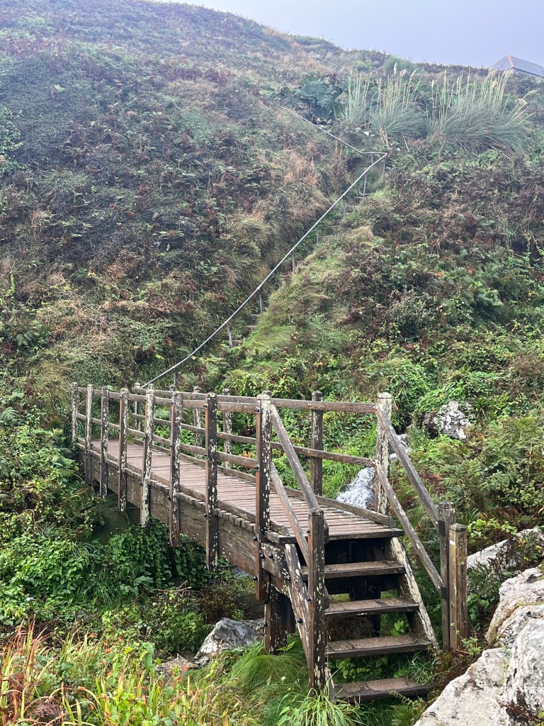
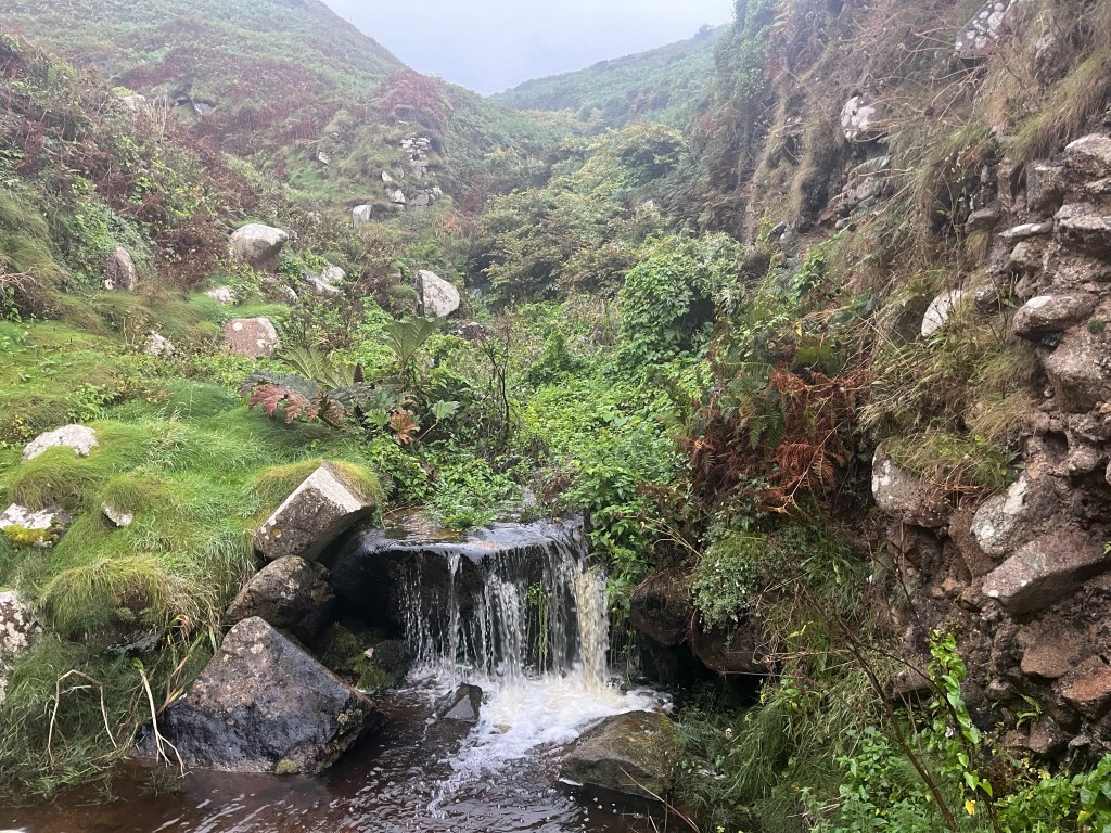
I noted a pattern of behaviour over the next few weeks whereby I’d see very few people early in the morning but by around 10.30-11.00am I’d then see dozens of other walkers. Most of these are day walkers or section hikers out for just a few days. The next few miles were pleasant with only a couple of short climbs. The well defined path was wide and laid with small grey stones. As the day went on the regularity of the ascents and descents increased and the walking pace was reduced down to only one mile each hour, for a few hours. At Porthglaze Cove I took a wrong turn, the official path went steeply down hill and my knees were screaming at me not to go down that route. I instead continued along a good footpath towards Carnelloe Farm. The map suggested half a mile further along there was a public footpath which would take me back to the SWCP however the route was wildly overgrown and inaccessible. I retraced the half mile back to the proper path and descended down the side of the cliffs. Half an hour and several more descents later at Zennor Cliffs I took another short break. Despite the slow pace I’d already covered seven miles and anticipated a fairly early arrival in St Ives.

The slow pace continued towards St Ives and I’d now developed blisters on the soles of both my feet. I’d been trying to stop these blisters developing however all the plasters I’d applied just detached. Even the plasters advertised as waterproof were useless in wet boots. On arrival at a busy St Ives I made my way into, not surprisingly, Wetherspoons for something to eat. Whilst eating I checked the map and decided to head to a campsite fourteen miles away at Gwithian. That’s a little further then I wanted to walk on day two but there’s no other holiday park that’s closer which accepts solo walkers

I left St Ives and head straight along the edge of St Ives Bay adjacent to the railway line. The route crossed either over or under the railway line several times before reaching the mouth of the Hayle Estuary Nature Reserve. The tide was out and there’s hundreds of birds feeding in the mud flats. There’s a minor road on the Eastern side of the estuary and several various businesses. I spotted a couple of men jet washing cars and despite the language difficulties they kindly filled up my water bottle. I arrived at Hayle and stopped at a shop to pick up some snacks. I had intended to stop for a while but there’s dozens of boy racers tearing past me and the noise was ‘pissing’ me off, I moved off far sooner than I had wanted. After Hayle the route heads back towards St Ives Bay through the dunes. I chose to stick to the firm sandy beach rather than wandering up and down the dunes. The dunes in Northumberland are impressive but nothing in height compared to these. I could see a gap in the dunes after about two miles so left the beach and started to walk inland towards Gwithian.


For the second night the sun was beginning to set as I pitched my tent. Although there’s a nice pub next door I was too tired after eating and getting cleaned up. I just chilled in the tent watching Netflix and eating a family bag of peanut M & M’s. A long day of twenty four miles and three thousand feet (1000mts) of ascent/descent.
